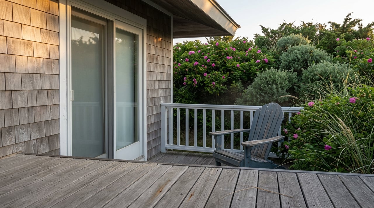
Lee McLaughlin spent childhood summers on Plum Island digging clams and building bonfires at her grandfather's cottage on 75th Street. Thirty years ago she and her wife moved in year round, thrilled to make the cottage a permanent home rather than a vacation memory. Then the storms got worse. Water surrounded the house during nor'easters, flooded the basement, and reached knee height at street level during high tides. After nearly three years of paperwork, the deal finally closed in October 2025. FEMA paid the couple roughly $1 million to leave, and the house was slated for demolition by the spring of 2026.
That same window, sale prices for homes on the Newburyport side of Plum Island ranged from roughly $1.1 million to $1.7 million across 2025 into 2026. The government paid someone seven figures to walk away from a house on this island, and buyers paid seven figures to move into one. If you're comparing Newburyport neighborhoods and Plum Island keeps coming up as either a dream or a warning sign, that contradiction is worth sitting with before you write an offer.
The Buyout Wasn't a Market Correction
McLaughlin's cottage was one of three homes offered a FEMA buyout in the Reservation Terrace area after repeated flood damage. Only McLaughlin took it. Her former neighbors chose to stay, and the reasons weren't only financial. As McLaughlin put it, reflecting on the decision after years of storm damage had already worn down her attachment to the place, "it just didn't bring me the peace that it once did."
The buyout also wasn't simple to execute. FEMA covered the bulk of the cost, but the program required Newburyport to fund a 10 percent local match. The City Council pulled together that share from several sources, including money that had been set aside to replace fire hydrants on the island, a decision that drew pushback from residents who felt infrastructure upgrades were being sacrificed for one property's exit. A separate Plum Island buyout application the city filed with FEMA's Hazard Mitigation Grant Program priced the city's 10 percent share at $395,065 against a $3.6 million total. These aren't quick transactions. They move at the speed of federal grant cycles and municipal budget politics, not the speed of a housing market.
That's the first piece of the puzzle. A voluntary buyout program that processes one property every few years, with a lengthy approval timeline and a contentious local funding fight attached to each deal, cannot function as a release valve on neighborhood pricing. It removes individual households from individual risk. It does not reset what the block is worth.
Two Credible Sources, Two Very Different Erosion Numbers
If you research Plum Island's erosion risk, you'll run into a genuine discrepancy. The Army Corps of Engineers estimated in 2021 that the beach is losing 53 feet of sand a year in places, a rate the Corps itself described as far in excess of the long-term average for the region. A separate estimate from The Trustees, an organization that tracks coastal change across Massachusetts, puts the island's short-term erosion rate at up to 7.5 feet per year along its full 2.4-mile ocean-facing shoreline.
Those numbers aren't really in conflict. They're measuring different things. The Corps figure describes a hot spot, likely tied to the stretch immediately updrift of the 2015 jetty repair that many residents and city officials blame for interrupting the natural flow of sand around the mouth of the Merrimack River. The Trustees figure averages erosion across the entire ocean-facing length of the island, hot spots and stable stretches combined. Both can be accurate at the same time, which is exactly the problem for a buyer trying to price risk. A single "erosion rate" for Plum Island doesn't exist. What exists is a shoreline where risk is uneven street to street, worse near the jetty's shadow and comparatively calmer elsewhere.
The Cost That Doesn't Show Up at Closing
Purchase price is the number everyone fixates on, but it isn't the number that changes most after you move in. FEMA's Risk Rating 2.0 system, which now sets flood insurance premiums based on a property's actual replacement cost, elevation, foundation type, and distance to water rather than a flat flood-zone designation, phases underpriced legacy policies toward their full-risk rate gradually. Premiums on those policies can rise as much as 18 percent a year until they catch up.
That detail matters enormously on a barrier island where many cottages have carried the same modest flood policy for years. A buyer who budgets based on the seller's current premium, rather than asking what the full-risk premium actually is, can end up years into ownership watching the insurance bill climb well past what they planned for. The purchase price reflects scarcity and demand today. The insurance bill reflects a formula still working its way toward the property's true risk.
What This Means If You're Comparing Streets, Not Just Towns
The practical takeaway isn't to avoid Plum Island. It's to stop treating "Plum Island" as a single line item and start treating it the way the erosion data actually behaves: block by block.
Before writing an offer on a coastal property here, or anywhere along this stretch of the Newburyport waterfront, it's worth confirming a few things directly rather than assuming the listing sheet covers them:
- Ask for the elevation certificate and the full NFIP policy history, not just the current annual premium.
- Request a quote for the property's full-risk premium under Risk Rating 2.0, and compare it to what the seller is currently paying. The gap tells you how much runway is left before the glide path catches up.
- Confirm the exact flood zone designation for the parcel. V and VE zones carry wave-action risk and stricter construction rules than AE zones, and Newburyport updated its FEMA map tiles in 2025, which changed the zone status for some parcels.
- Ask what part of the island the property sits on relative to the jetty. A home a few blocks from a documented hot spot faces a materially different risk profile than one further down the shoreline, even if both are technically "waterfront."
None of this is a reason to write off waterfront living in Newburyport. It's a reason to do the diligence at the parcel level instead of at the neighborhood level, because the data itself only makes sense at the parcel level.
FAQ
Does a single buyout lower home values nearby? Not based on what's happened so far. The program has moved slowly, involves individual negotiations, and hasn't functioned as a broad market signal. Prices in the surrounding area have continued to reflect scarcity and demand rather than the buyout activity.
Is every part of Plum Island equally at risk? No. The erosion data itself shows uneven risk, with certain stretches near the 2015 jetty repair experiencing sharper rates than the island's average. Parcel-level flood maps and elevation certificates matter more here than a general reputation for the island as a whole.
Should this change my interest in Newburyport if I'm not looking at waterfront property? Not directly. The mechanics discussed here are specific to coastal flood risk and FEMA's rating system. Homes elsewhere in Newburyport, away from the barrier island, aren't subject to the same insurance dynamics, though it's still worth understanding the broader coastal resilience planning the city and state have underway.
If you're weighing a waterfront purchase against an in-town Newburyport option, or trying to figure out what a specific Plum Island street actually costs to own five years from now, that's a conversation worth having before you fall for a view. The team at DiPietro Group Real Estate works this market street by street, not just town by town, and can walk you through the parcel-level questions that don't show up on a listing sheet. Schedule a free buyer consultation and let's look at the specific block you're considering, not just the median.